25 March 2024, 20:40
Picture:
Alamy
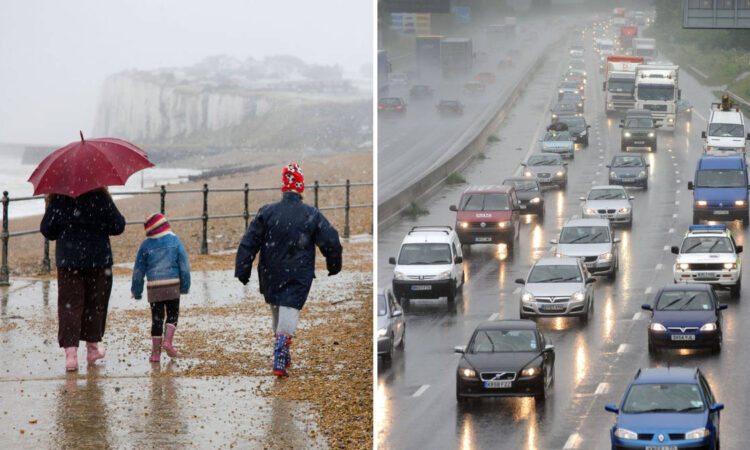
Holidaymakers have been told to expect “disappointing” weather ahead of the Easter bank holiday getaway, with heavy rain and high winds forecast to sweep the UK.
The Met Office has warned of heavy rainfall across large parts of the UK, with some areas warned of the very real risk of flooding resulting from widespread downpours on already saturated ground.
The “unsettled” outlook comes as cool and damp conditions continue to plague much of England, Wales, Scotland and Northern Ireland in the run-up to the bank holiday getaway.
According to the meteorological office, rain is set to move northwards across the UK from Tuesday.
With some areas facing between 10-20mm of rain, forecasters are blaming an area of low pressure which continues to linger over the UK.
It also labelled an Environment Agency issued flood warning a very real possibility.
Picture:
Alamy
However, “it’s not all doom and gloom” according to the weather authority, with highs of 15 or 16 possible beyond the weekend.
The weather is then expected to get worse from Wednesday, with most areas seeing showers and stronger winds throughout the day and into Thursday.
“The winter has left some land quite saturated. We may have to issue a rainfall warning in the south-western areas of England, but we will continue to monitor this,” said Morgan.
Met Office meteorologist Tom Morgan said the conditions were not out of the ordinary for this time of year, confirming the wet winter had left experts “monitoring” areas of the South West historically prone to flooding.
“The winter has left some land quite saturated. We may have to issue a rainfall warning in the south-western areas of England, but we will continue to monitor this,” said Morgan.
“If necessary, it would be up to the Environment Agency to issue a flood warning.”
“It’s a disappointing forecast for people hoping to go on a staycation, but these conditions are likely to lift as the low pressure starts to move away,” he continued.
Picture:
Alamy
“This means we could start to see highs of 15C or 16C as we move into and past the weekend. So, it’s not all doom and gloom.”
Met Office deputy chief meteorologist, Mark Sidaway, added: “It’s another very unsettled week for much of the UK, with heavy, blustery showers, longer spells of rain and also some strong winds.
“In terms of hazards in the current forecast, we’re continuing to keep an eye on some of the expected rainfall totals as they build up through the week, with some places in the south still quite sensitive to rainfall amounts due to the wet winter many have experienced.
“We will also need to monitor the winds with the potential for gales to develop around some coastal areas of the north at first, then later some south-western areas, especially as these may coincide with some high tides.”


