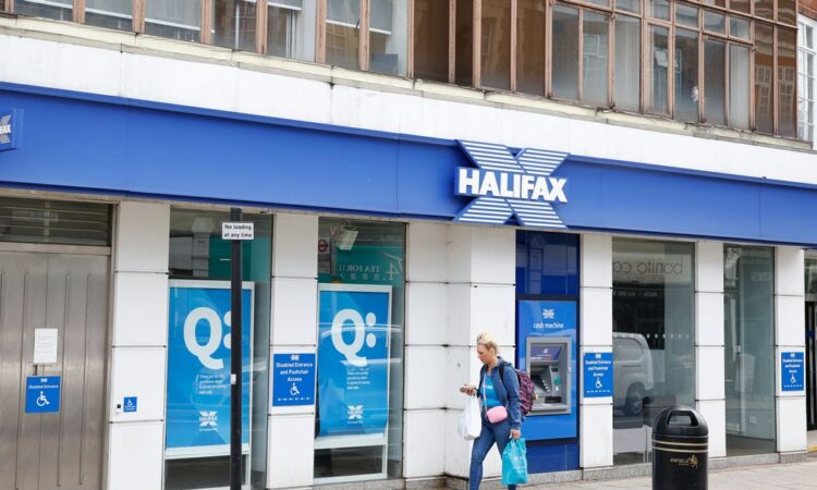
The number of UK bank branches to close their doors in the past nine years passed 6,000 on Friday, according to Which? The consumer group said the milestone highlights the impact this “avalanche” of closures has had on high streets and the need to provide replacement services for millions of people who rely on them.
The wave of closures means that 33 parliamentary constituency areas either have no branch of any bank left now, or will lose their last bank before the end of this year. That will leave no banks left to serve a population of 121,000 people in Mid Bedfordshire, 117,000 in Dagenham and Rainham, and 117,000 in Erith and Thamesmead.
In total, more than three million people will have no bank anywhere near where they live by the end of the year. You can find out whether you live in a banking desert using our interactive map below.
READ MORE: North London neighbourhood where there’s only one bank branch left as locals ‘left with no options’
According to the map, there’s only one part of London with no bank, which is Dagenham. The map shows that roughly 117,000 people have been left without access to a high street bank.
Nine Barclays branches were shutting their doors on Friday, taking the total by the end of the day on May 17 to 6,006. This equated to over 60 per cent of the bank branch network since Which? began tracking closures in 2015.
The eight Barclays closures relate to branches in Alperton in Wembley, London: Andover in Hampshire; Bangor in County Down, Northern Ireland; Bracknell in Berkshire; Hornchurch in Essex; Inverness in the Highlands in Scotland; Liverpool; and Streatham in London.
Barclays has closed 1,217 branches, according to Which? NatWest Group, which comprises NatWest, Royal Bank of Scotland and Ulster Bank, has closed 1,360 branches and Lloyds Banking Group, made up of Lloyds Bank, Halifax and Bank of Scotland, has shut 1,146 sites, the consumer group said.
Which? said 200 closures by various banks are already scheduled for the rest of 2024. Currently, 24 more bank branch closures have been scheduled for 2025, although more are expected to be announced later this year and next, it added.
While millions of consumers have made the switch to banking digitally, there remains a significant number of people who are not yet ready or willing to make that jump, underscoring the need for accessible alternatives, Which? said.
There are various initiatives to help plug gaps in the cash access network, as bank branches close.
The 50th banking hub was recently opened. Banking hubs allow banks to share facilities. They have a counter service operated by the Post Office, allowing customers to conduct routine banking transactions.
The Post Office also recently reported that cash transactions at its branches totalled a record £3.48 billion in April. The Post Office has an agreement with many banks, allowing their customers to carry out everyday banking over its counters.
With a general election looming, Which? said it believes that the next government should commit to delivering at least 200 shared banking hubs in the first two years following the election.
It added that as bank branch closures are likely to continue in the coming years, any target may need to be revised upwards to keep pace.
Sam Richardson, deputy editor of Which? Money, said: “This milestone of more than 6,000 bank branch closures in just nine years underscores the seismic shift that has taken place in terms of our banking habits and the character of the British high street.
“While some may hardly notice the closure of their local branch as they seamlessly switch to online banking, for others reliant on face-to-face services, the impact can be disastrous.
“It’s not about halting closures altogether, but ensuring that essential banking services remain accessible to those who still rely on them.”
A Barclays spokesperson said: “As visits to branches continue to fall, we need to adapt to provide the best service for all our customers.
“Where levels of demand don’t support a branch, we maintain an in-person presence though our Barclays Local network, live in over 350 locations, based in libraries, town halls, mobile vans and our banking pods.
“We also support access to cash with our cashback-without-purchase service, 24-hour deposit-taking ATMs and by working alongside the Post Office and Cash Access UK.”
A spokesperson for trade association UK Finance said: “An ever-increasing number of people are using telephone, mobile and internet banking and fewer people are visiting bank branches on a regular basis. Balancing this change in the way we bank means firms have to make difficult decisions about maintaining their branches.
“The industry has invested heavily in alternative services, including thousands of Post Offices where people can do a lot of their day-to-day banking.
“Alongside this, the industry is working to roll out shared banking hubs to bring together different firms to support their customers.
“There is also significant ongoing investment to ensure access to cash, including free ATMs and cashback without purchase. If you are concerned about your local bank branch closing, please contact them and they will help you find the best alternative for your needs.”
Get the biggest stories from around London straight to your inbox. Sign up to MyLondon’s The 12 HERE for the 12 biggest stories each day.


